
Global Geosystems
Información Corporativa / Corporate Information
Información de la Empresa / Company Information
Global Geosystems lleva más de 25 años trabajando con arquitectos, ingenieros y profesionales técnicos. En STONEGAL presentamos herramientas de captura, medición y digitalización que resuelven problemas reales en obra: menos tiempo en campo, menos errores, más control sobre cada proyecto.
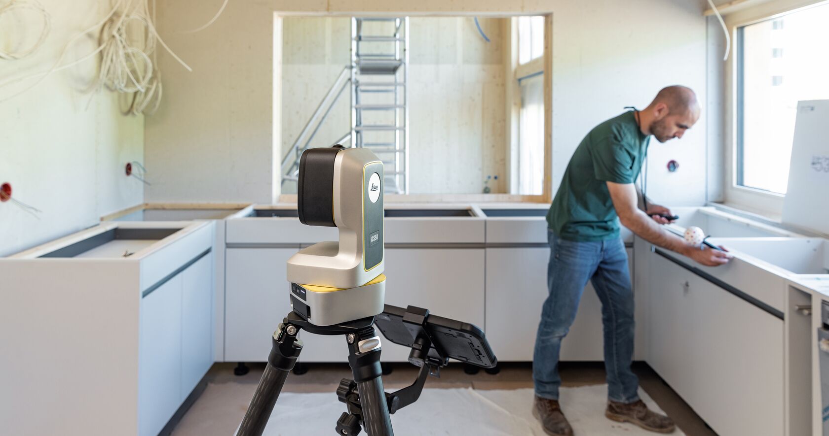
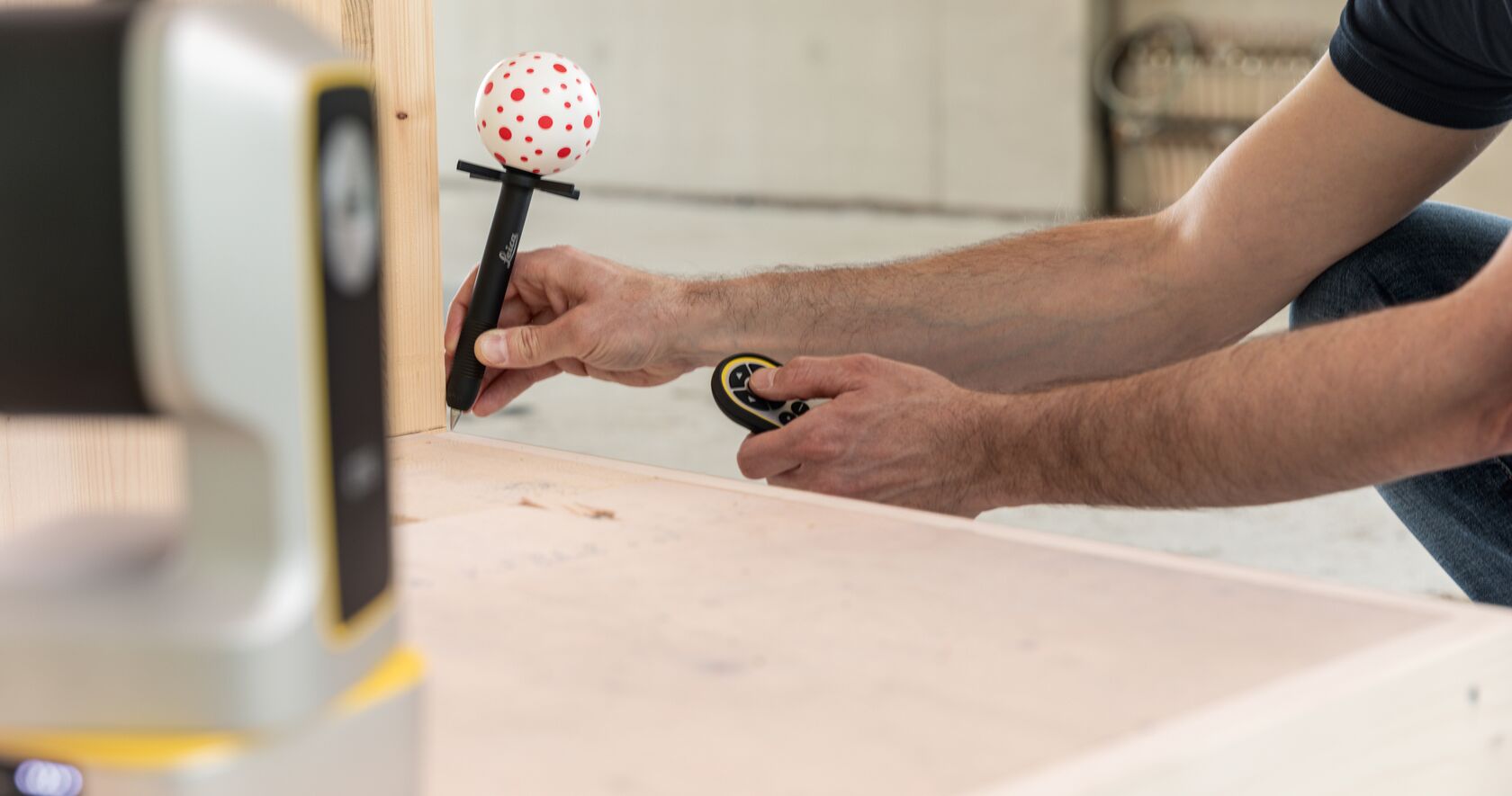
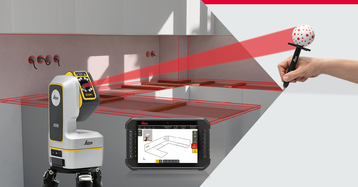
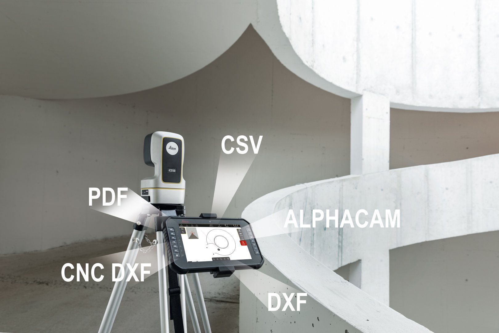
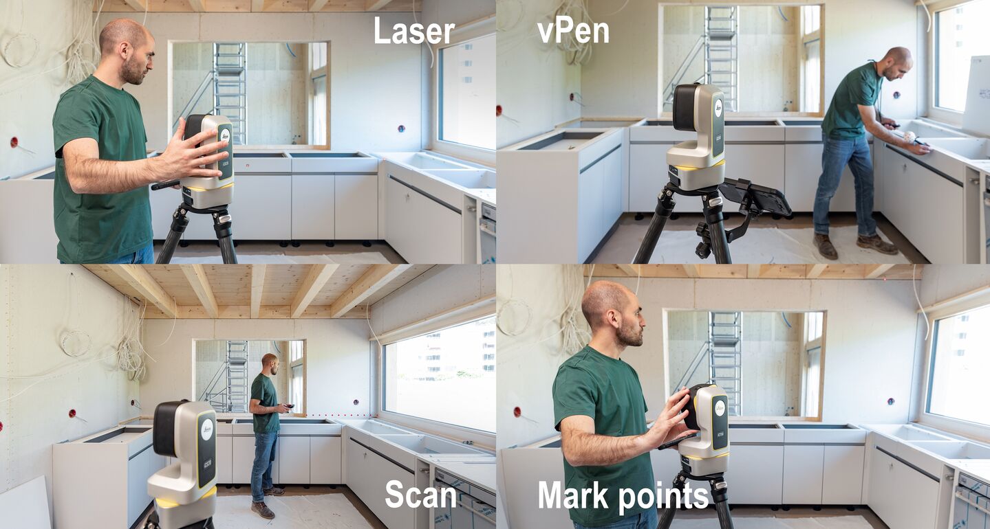
La protagonista es la Leica iCS50, una solución de replanteo y medición directamente en obra. La acompañan equipos de escaneado láser como la Leica BLK y la RTC360, para captura 3D de alta precisión.
Ven a ver cómo encajan en tu flujo de trabajo.
*** Global Geosystems has been working with architects, engineers, and technical professionals for over 25 years. At STONEGAL, we present capture, measurement, and digitization tools that solve real-world problems on-site: less time in the field, fewer errors, and greater control over each project.
The star of the show is the Leica iCS50, a stakeout and measurement solution for direct use on-site. It is accompanied by laser scanning equipment such as the Leica BLK and the RTC360, for high-precision 3D capture.
Come see how they fit into your workflow.
Información de Contacto / Contact Information
Emilio Pereiras
Esta página se actualiza automáticamente cuando el expositor modifica sus datos. / This page updates automatically when the exhibitor modifies their data.